Current clarity first
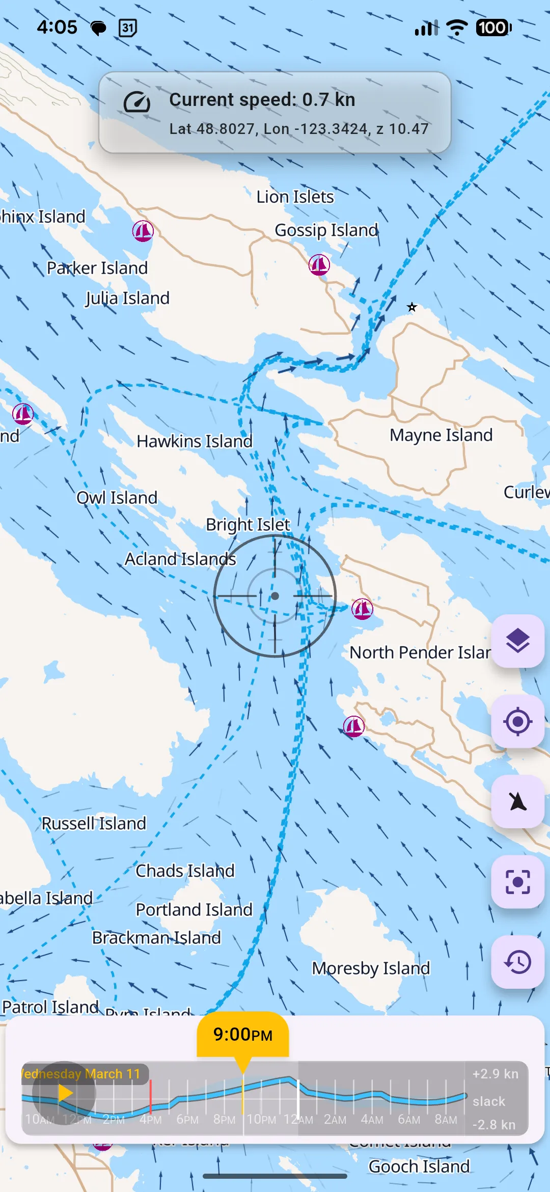
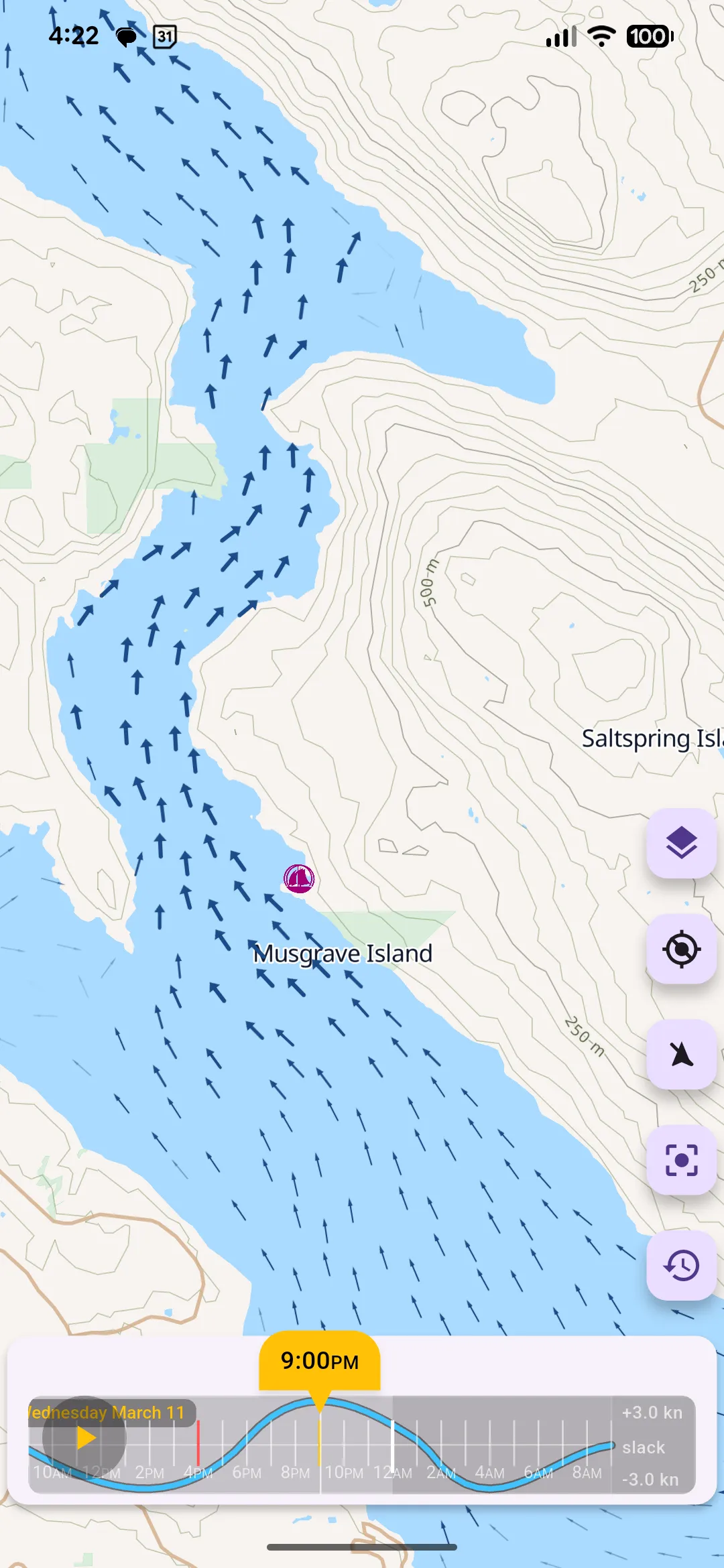
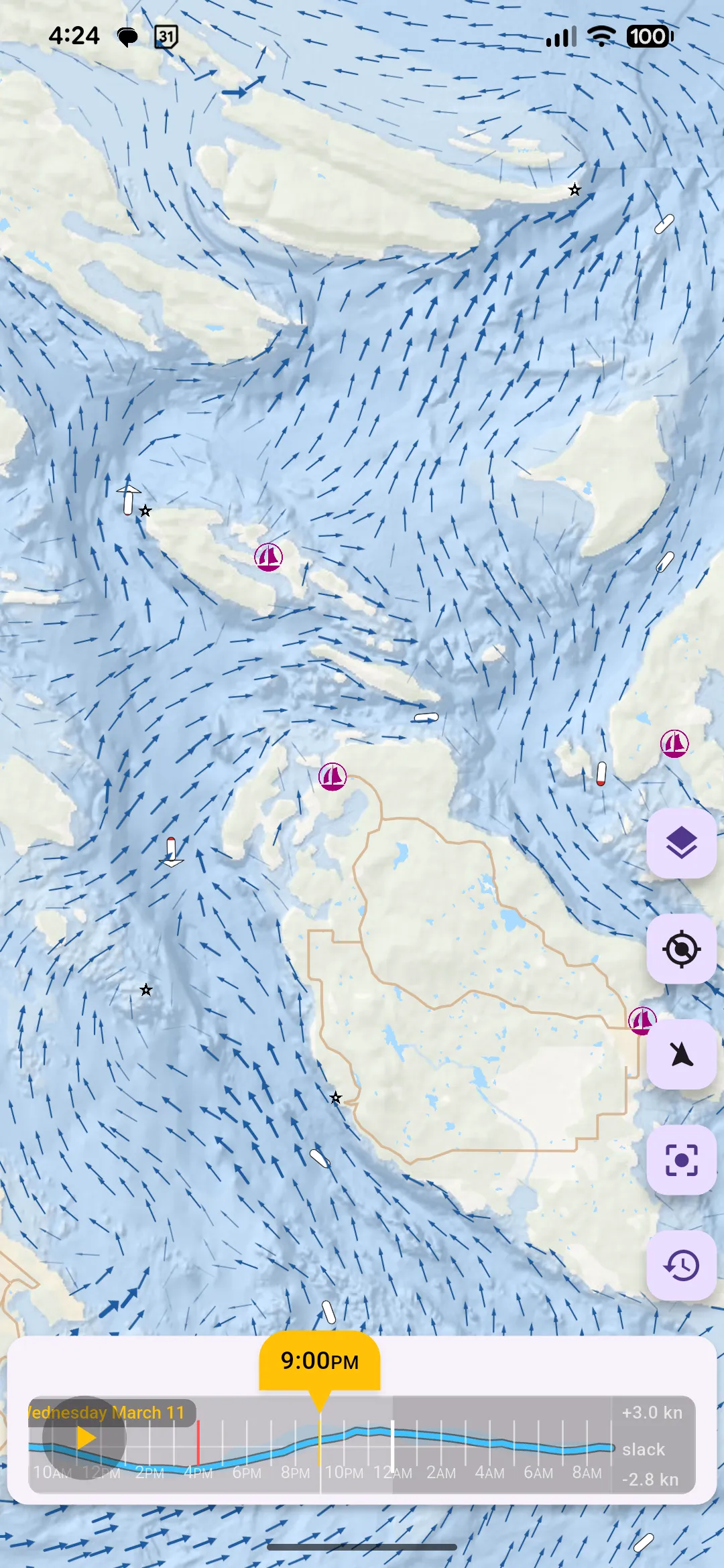
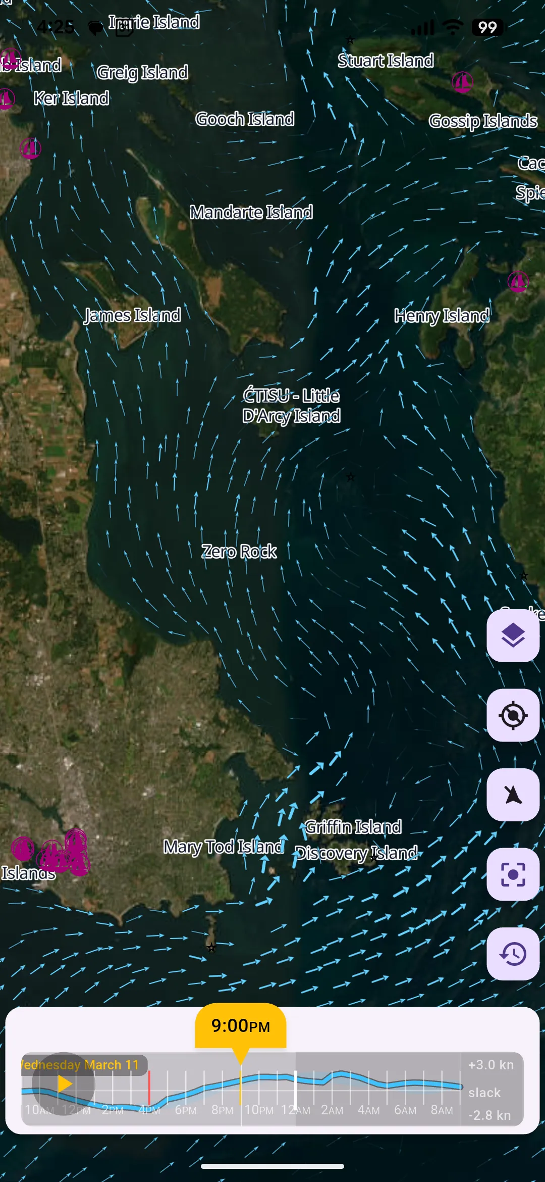
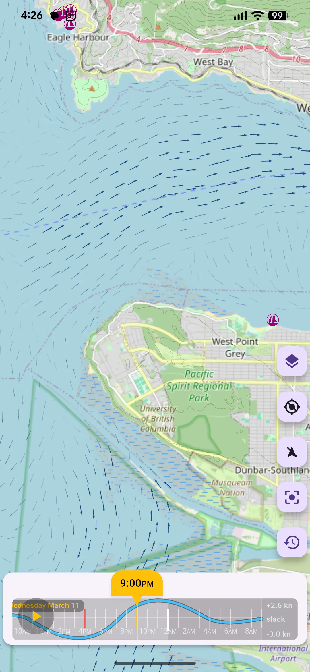
Eddy is built to make current timing, direction, and local flow patterns easy to read over the entire coverage area. Not just at specific points, not just in a narrow time window, but everywhere and all the time.
WorkingTidal.ca builds tools for boaters who care about local conditions, timing windows, and clear, accurate current information. The first product is Eddy, the current chart app designed to make complex tidal flow easy to understand.
The philosophy is simple: less clutter, strong offline behavior, and software grounded in real boating use.
Eddy is built to make current timing, direction, and local flow patterns easy to read over the entire coverage area. Not just at specific points, not just in a narrow time window, but everywhere and all the time.
The app architecture centers on prebuilt atlas data, on-device rendering, and no internet connection required.
WorkingTidal.ca is focused on software shaped by real boating use, not generic dashboards made far from the coast.
Eddy is built around one job: helping boaters understand what the water is doing, where the flow will run, and when a passage window is worth paying attention to simply and easily. No looking up tide tables, no deciphering complex charts, no guessing. Just a clear, visual picture of the currents around you, on your device.
The current app design centers on prebuilt atlas data, on-device rendering, point-current support, and optional location-aware map features. That foundation makes it a better fit for practical field use than websites that disappear the moment coverage gets thin.

Featured product
Tidal current chart software built for practical coastal decisions.
Android release with public Google Play distribution.
iOS release coming soon!
Coverage is currently centered on the Salish Sea. More areas are on the way, including Puget Sound, Georgia Strait north, and Juan de Fuca west.
New features, coverage areas and future current data are all included with your subscription.
A full year of atlas data is bundled with the app, no internet connection required. Just install and go!
Eddy is built as a practical current-visualization tool. It should not be treated as a substitute for official charts, notices, instruments, or prudent seamanship.